
20. June 2026
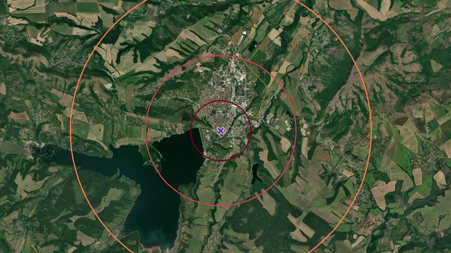
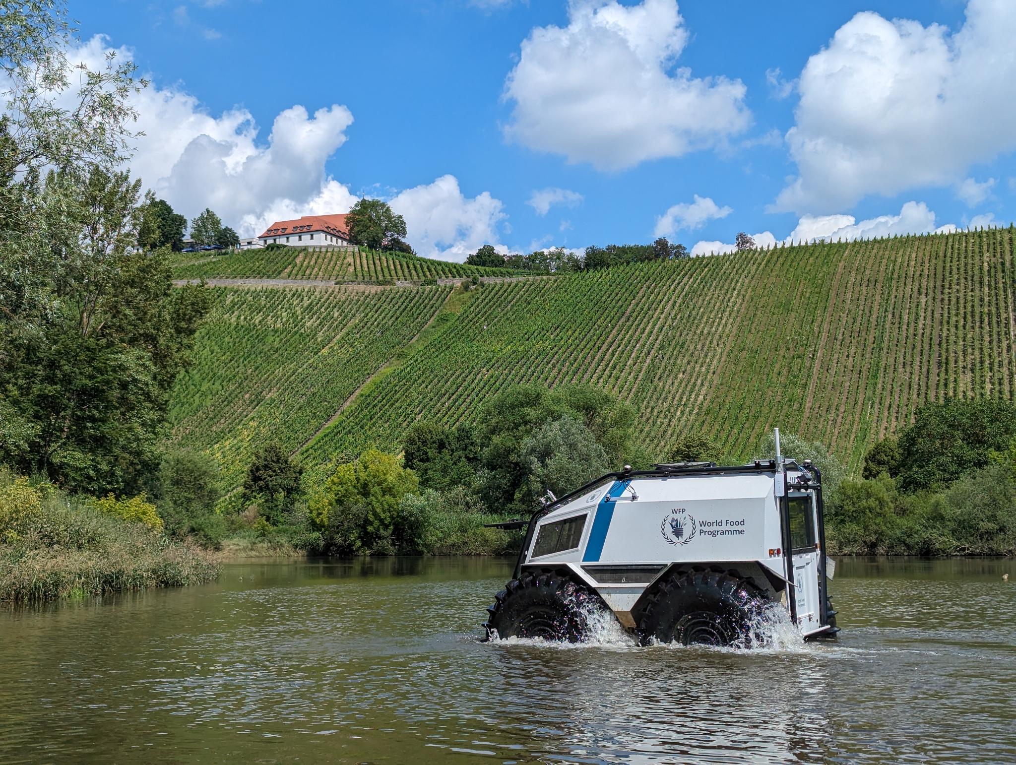
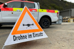
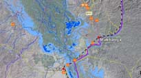
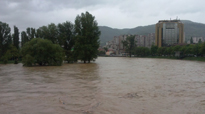
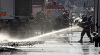
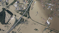
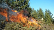
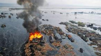
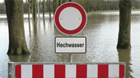
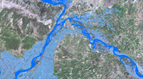
Exercise: Final Demonstration of the RESITEK Project in Altnahr
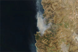
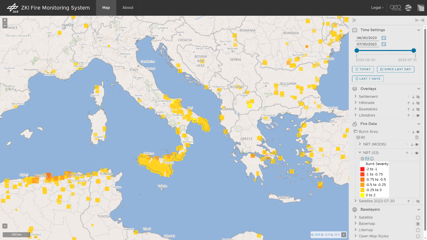
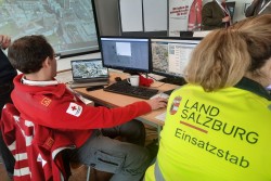
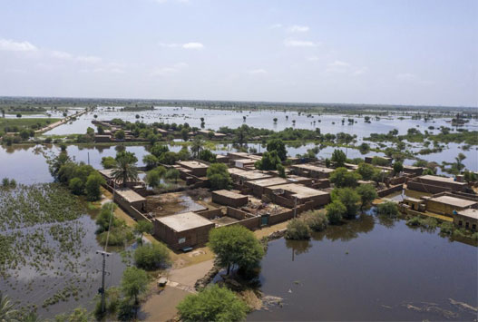
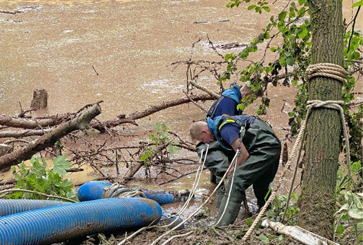
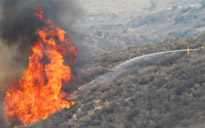
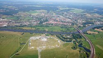
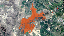
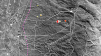
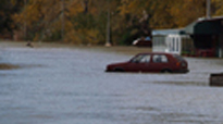
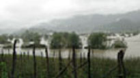
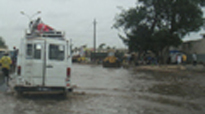
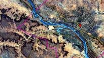
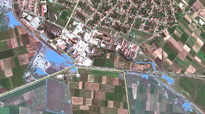
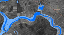
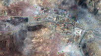
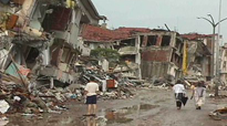
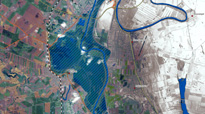
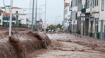
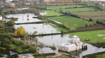
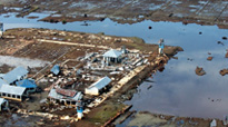
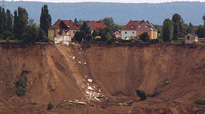
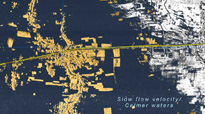
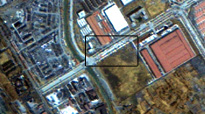
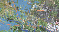
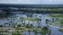
On June 20, 2026, the closing demonstration of the RESITEK project ("Resiliente Technologien für den Katastrophenschutz") took place on the former soccer field in the municipality of Altenahr in the district of Ahrweiler.The goal of the RESITEK project is to bring together the expertise and technolo...