20. June 2026

Exercise: Final Demonstration of the RESITEK Project in Altnahr
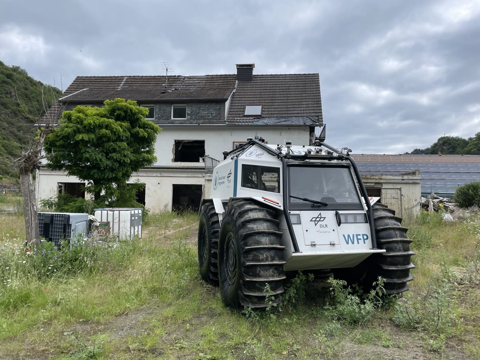
Source © DLR 2026
Credit:
DLR (CC BY-NC-ND 3.0)

AOn June 20, 2026, the closing demonstration of the RESITEK project ("Resiliente Technologien für den Katastrophenschutz") took place on the former soccer field in the municipality of Altenahr in the district of Ahrweiler.

The goal of the RESITEK project is to bring together the expertise and technological capabilities of the German Aerospace Center (DLR) in the fields of aviation, space, energy, transportation, and security. As part of the project, a modular and flexibly expandable data and visualization platform is being developed that enables both continuous situation monitoring and needs-based support for situation assessment, mission planning, and mission execution in the event of a disaster. This is intended to strengthen the decision-making and operational capabilities of authorities and organizations responsible for security, enabling them to manage hazardous situations more efficiently and effectively protect the public.

Scenario "Flood"

The past few weeks in western Germany have been very rainy. The ground is saturated with water, and water levels in local rivers are correspondingly high. Parts of Rhineland-Palatinate have experienced extreme rainfall, with local peaks of 200 l/m². Flooding is particularly severe along the Ahr River and has reached devastating proportions. Many emergency calls have been received. The situation is becoming increasingly unclear, and the area affected by the flooding is growing. Many municipalities have already requested assistance from outside their local area. The communications network has failed in large parts of the Ahr Valley.

The Bavarian Red Cross (BRK) has arrived and coordinated with local emergency response teams. The BRK’s Terrain/Infrastructure/Logistics/Transport (G.I.L.T.) team has already conducted a preliminary assessment on site.

The BRK’s Integrated Control Center (ILS) in Schweinfurt is requesting support from the DLR—specifically through the Center for Satellite-Based Crisis Information (ZKI) of the German Remote Sensing Data Center (DFD)—to conduct a comprehensive assessment of the situation and to assist with rescue operations.

In the field, the DLR, together with the BRK, the DRK Rhineland-Palatinate, and the Federal Agency for Technical Relief (THW), carries out various coordinated search and rescue operations. The information gathered in the field is compiled and evaluated in the DFD-ZKI situation report and communicated to the emergency response teams.

Products

Germany - Altenahr / Altenburg - Flooding - P08 - Situation on 11 June 2026 - Overview map

Creation Date 20. June 2026

Germany - Altenahr - Flooding - P07 - Situation before, during and after following the July 2021 flooding - Comparison map

Creation Date 20. June 2026

Germany - Altenahr / Altenburg - Flooding - P06 - Situation on 26 May 2026 - Overview map

Creation Date 20. June 2026

Germany - Altenahr / Bad Neuenahr-Ahrweiler - Flooding - P05 - Vulnerable population, percent of population under 18 and over 65 - Overview map

Creation Date 20. June 2026

Germany - Bad Neuenahr-Ahrweiler - FLooding - P04 - Access to medical care on 16 July 2021 - Overview map

Creation Date 20. June 2026

Germany - Altenahr / Altenburg - Flooding - P03 - Extent of damage on 16 July 2021 - Overview map

Creation Date 20. June 2026

Germany - Altenahr / Altenburg - Flooding - P02 - Development following the July 2021 flooding - Comparison map

Creation Date 20. June 2026

Germany - Altenahr - Flooding - P01 - Situation before, during and after following the July 2021 flooding - Comparison map

Creation Date 20. June 2026